Left Behind by the Levee: How Climate Change Is Widening the Flood Divide in America's Riverside Communities
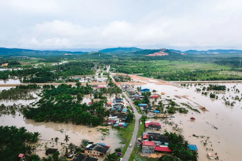
When the Yazoo River crested above flood stage for the fourteenth consecutive spring in 2023, residents of Issaquena County, Mississippi, did not need a federal report to understand what was happening. They had watched their roads buckle, their fields drown, and their neighbors leave. What they lacked was not awareness—it was infrastructure capable of protecting them.
Across the United States, a troubling pattern has emerged at the intersection of climate science, river management policy, and environmental justice. As warming temperatures drive increasingly erratic precipitation—longer droughts punctuated by more intense rainfall events—the communities absorbing the worst consequences are disproportionately rural, low-income, and located along rivers that have been systematically underfunded, mismanaged, or simply forgotten by federal and state agencies.
This is not a natural disaster problem. It is a structural one.
The Infrastructure Gap No One Talks About
The United States maintains more than 100,000 miles of levees, the vast majority of which were constructed between the 1930s and 1970s. According to the American Society of Civil Engineers, nearly a third of these structures are rated in poor or unacceptable condition. Yet public attention and federal dollars tend to concentrate on protecting urban centers and agricultural powerhouses—the Sacramento-San Joaquin Delta in California, the lower Missouri River corridor, the Chicago metropolitan floodplain.
Smaller riverfront communities, particularly in the rural South, Appalachia, and the Great Plains, operate with levees and drainage systems that were never designed to handle the hydrological loads now projected under mid-century climate scenarios. The National Oceanic and Atmospheric Administration has documented a measurable increase in extreme precipitation events across the continental United States since 1950, with the Northeast and Midwest experiencing the sharpest acceleration. Communities along tributaries of the Ohio, Cumberland, and upper Mississippi rivers—places like Pikeville, Kentucky, or Grafton, Illinois—now face 100-year flood events arriving with unsettling regularity.
The gap between risk and resource is not accidental. It reflects decades of policy choices that have consistently prioritized infrastructure investment in economically productive corridors while deferring maintenance and modernization in communities with less political capital.
Environmental Justice and the Floodplain
The relationship between poverty, race, and flood exposure in the United States is well-documented, though rarely centered in mainstream infrastructure debates. Research published by the First Street Foundation found that federally designated Special Flood Hazard Areas—the regulatory benchmark for flood risk—significantly underestimate the true extent of flood danger facing lower-income communities, in part because FEMA flood maps are updated infrequently and often reflect historical rather than projected conditions.
In Louisiana's Isle de Jean Charles, a predominantly Biloxi-Chitimacha-Choctaw community, land loss driven by subsidence and storm surge has reduced habitable territory by more than 98 percent since the 1950s. Federal resettlement funds arrived only after decades of advocacy. In Princeville, North Carolina—the oldest town in the country chartered by formerly enslaved people—repeated catastrophic flooding along the Tar River has displaced residents multiple times since Hurricane Floyd in 1999, with recovery resources consistently lagging behind those directed to wealthier neighboring towns.
These are not isolated anecdotes. They represent a systemic pattern in which communities of color and low-income populations are more likely to live in high-risk floodplains, less likely to hold flood insurance, and slower to receive disaster recovery assistance. The Federal Flood Risk Management Standard, strengthened by executive order in 2021, represents a meaningful policy step—but implementation remains uneven, and advocates argue it does not yet go far enough in centering equity.
Why Concrete Alone Cannot Save Us
For much of the twentieth century, the dominant American response to flood risk was engineering: build higher levees, channelize rivers, harden banks with riprap and concrete. This approach succeeded in protecting certain areas from certain floods. It also, in many cases, made the broader problem worse.
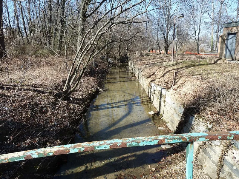
Channelized rivers move water faster, transferring flood peaks downstream and reducing the floodplain's natural capacity to absorb and slow high flows. Levees, when they fail—and under sufficient pressure, they do fail—tend to fail catastrophically rather than gradually, releasing stored floodwaters in sudden, devastating surges. The construction of protective infrastructure in one location frequently increases flood exposure in adjacent communities that lack equivalent defenses, a dynamic researchers call the "levee effect."
Perhaps most consequentially, hardened flood control infrastructure degrades the ecological systems that provide natural flood mitigation. Wetlands adjacent to rivers can absorb between one and one-and-a-half million gallons of floodwater per acre. Riparian forests slow surface runoff, stabilize banks, and sustain the biological complexity that keeps river systems resilient. When these features are replaced with concrete channels and earthen berms, the river loses not only its ecological character but a significant portion of its capacity to buffer communities from extreme events.
Restoration as Adaptation
A growing body of research and on-the-ground practice points toward a different model—one in which ecological restoration and flood resilience are understood as complementary rather than competing objectives.
Floodplain reconnection projects, which restore the hydraulic connection between rivers and their adjacent lowlands, have demonstrated measurable reductions in downstream flood peaks. In Wisconsin's Kickapoo River Valley, a landscape-scale floodplain restoration effort supported by the U.S. Army Corps of Engineers reduced flood damages by an estimated 70 percent while simultaneously recovering wetland habitat and improving water quality. Along the Cosumnes River in California, deliberate levee setbacks have allowed the river to reclaim historic floodplain areas, reducing flood risk for downstream Sacramento while restoring riparian forest that had been absent for more than a century.
These projects do not eliminate flood risk. No intervention can, particularly as climate conditions continue to shift. But they offer something the conventional approach cannot: a flood management strategy that grows more effective over time as ecological systems mature, rather than one that degrades as aging infrastructure approaches the end of its design life.
For underserved riverfront communities, nature-based flood adaptation carries an additional dimension of justice. Restoration projects generate local employment, improve recreational access, enhance property resilience without displacement, and build the kind of long-term ecological capital that benefits future generations. They represent, in concrete terms, the difference between a community that is managed for flood control and one that is genuinely invested in.
Toward a More Equitable River Policy
Addressing the flood divide in America's riverside communities will require more than technical innovation. It demands a fundamental reorientation of federal and state investment priorities—one that acknowledges the accumulated inequities of twentieth-century infrastructure policy and commits to remedying them.
This means updating FEMA flood maps on a cycle that reflects current and projected climate conditions rather than historical averages. It means reforming the benefit-cost analysis frameworks that systematically undervalue flood protection in low-income communities by tying projected benefits to property values. It means funding community-led floodplain restoration initiatives with the same urgency and resources currently directed toward major metropolitan levee systems.
And it means listening to the people who live closest to these rivers—who understand, often better than any model, where the water goes when it rises too fast and too high.
The rivers themselves are not the problem. Managed with ecological intelligence and distributed equitably, they are among the most powerful tools we have for building communities resilient enough to endure what is coming. The question is whether we will choose to use them that way—or continue building walls that protect some while leaving others to face the flood alone.